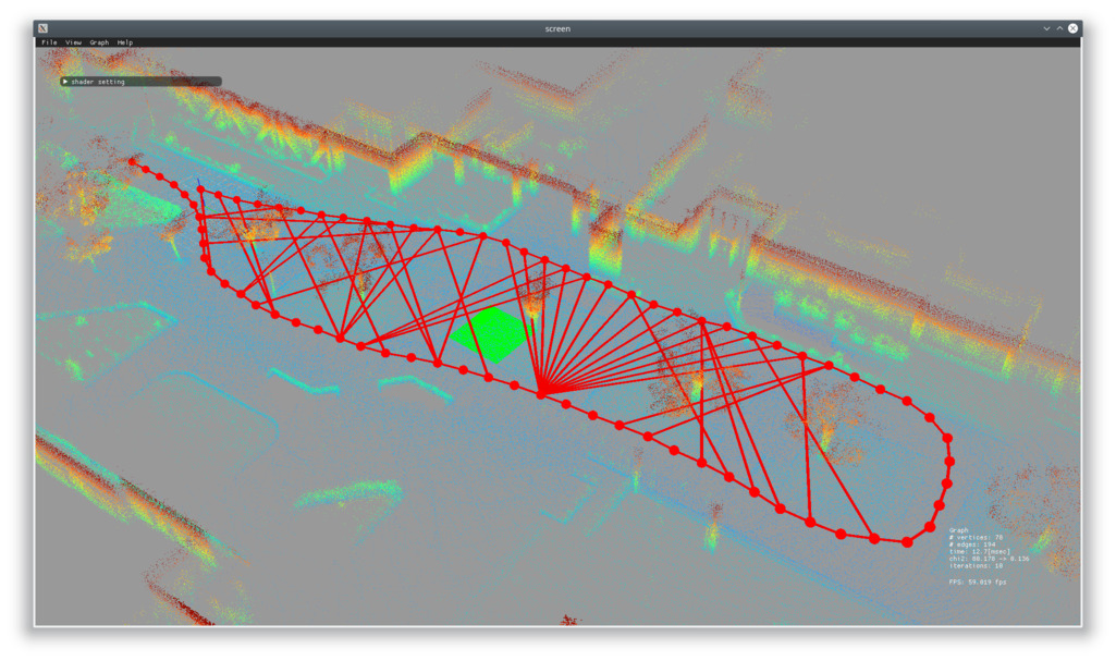
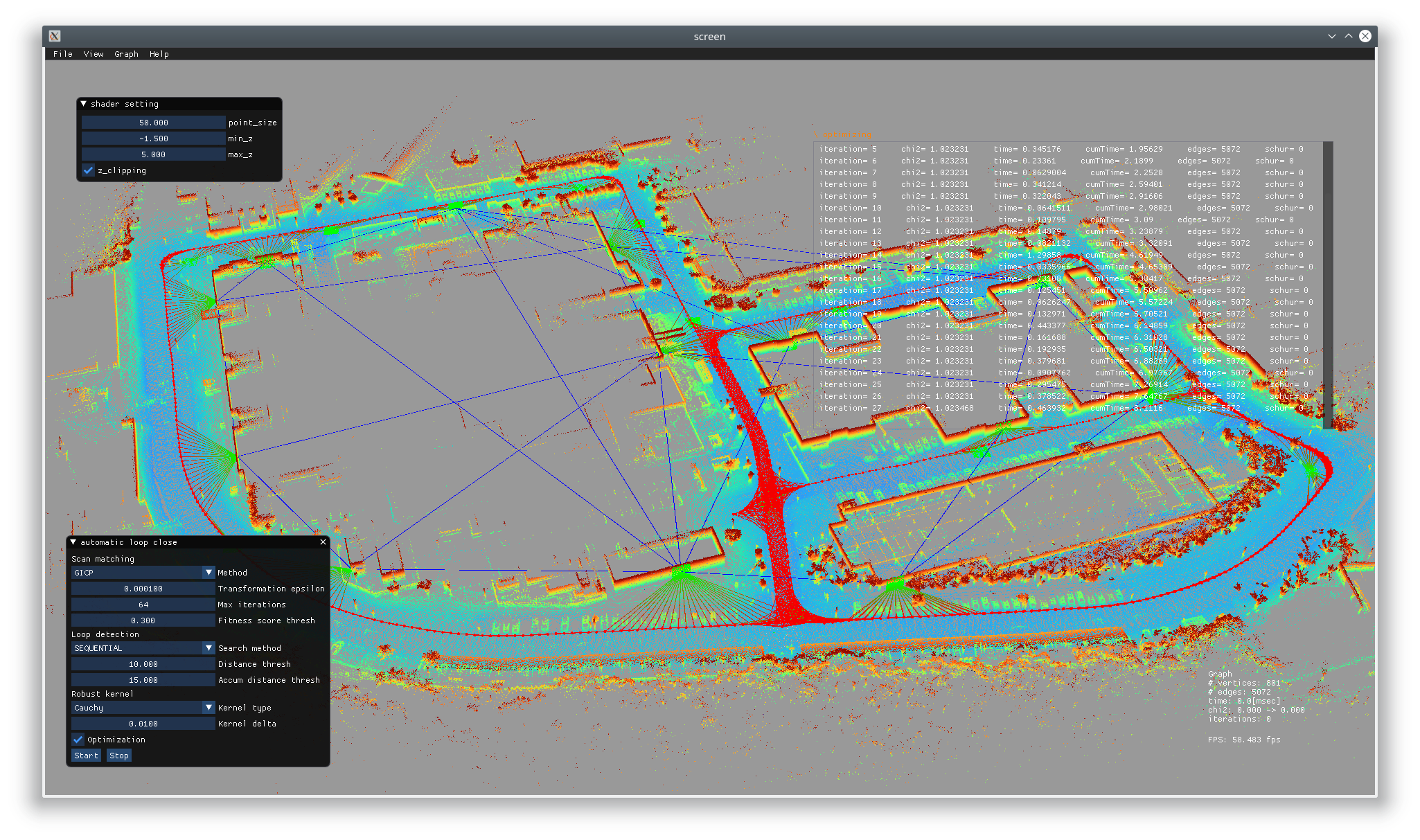
interactive_slam is an open source 3D LIDAR-based mapping framework. In contrast to existing automatic SLAM packages, we aim to develop a semi-automatic framework which allows the user to interactively and intuitively correct mapping failures (e.g., corrupted odometry, wrong loop detection, distorted map, etc) with minimum effort. This framework provides several map correction features:
- [Manual & Automatic] Loop closing
- [Manual] Plane-based map correction
- [Manual] Multiple map merging
- [Automatic] Pose edge refinement
This package is built on top of the ROS ecosystem. You can start building a map with a pose graph constructed by hdl_graph_slam or odometry data generated by any ROS packages, such as LeGO-LOAM. If you are interested in a ROS-independent cross platform version (Ubuntu/Windows), see here.
We are looking forward to hearing your feedback and additional feature requests on this package. Requested features which are publicly useful would appear in the future version. Send your feedback
This package has been tested on Ubuntu 18.04 & ROS melodic.
interactive_slam depends on the following libraries:
# for ROS melodic
sudo apt-get install libglm-dev libglfw3-dev
sudo apt-get install ros-melodic-geodesy ros-melodic-pcl-ros ros-melodic-nmea-msgs ros-melodic-libg2o
cd ~/catkin_ws/src
git clone https://github.com/koide3/ndt_omp
git clone https://github.com/koide3/hdl_graph_slam
git clone https://github.com/koide3/odometry_saver
git clone https://github.com/SMRT-AIST/interactive_slam --recursive
cd ~/catkin_ws
catkin_make -DCMAKE_BUILD_TYPE=ReleaseIn this example, we edit a map (pose graph) constructed by hdl_graph_slam. See more.

In this example, we create a map with odometry data generated from a rosbag file using LeGO-LOAM. See more.
In this example, we correct a warped map with plane constraints and merge it with another map. See more.
You can feed graph/odometry files generated by your program to interactive_slam. See more
interactive_slam is released under GPLv3 license. If you are interested in a closed-source version or you need technical support, see here and contact us.
Kenji Koide, [email protected]
Active Intelligent Systems Laboratory, Toyohashi University of Technology, Japan [URL]
Robot Innovation Research Center, National Institute of Advanced Industrial Science and Technology, Japan [URL]

