Skip to content

Latest commit


History

History
395 lines (378 loc) · 15.5 KB

countries-land.md

File metadata and controls

395 lines (378 loc) · 15.5 KB

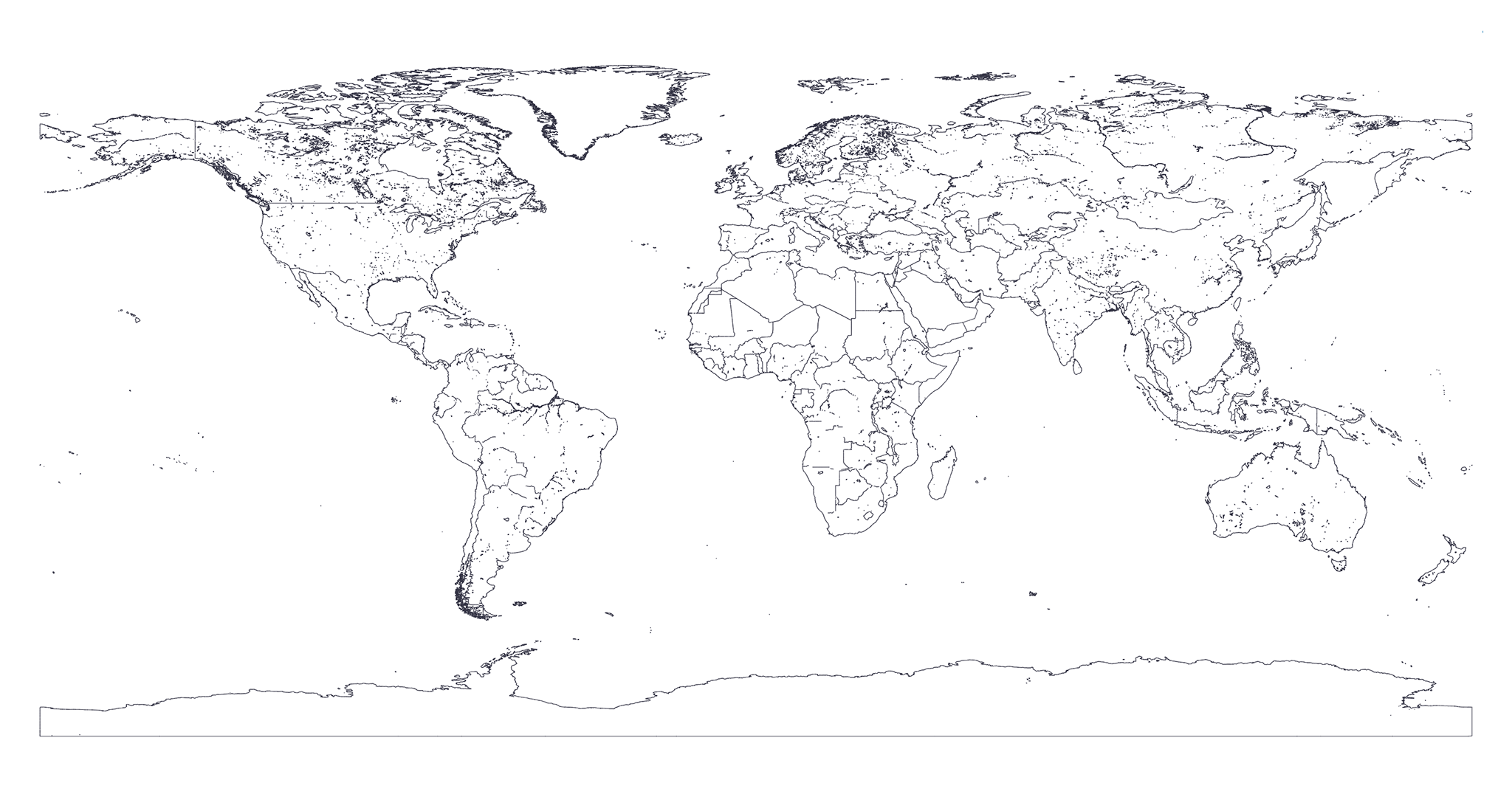
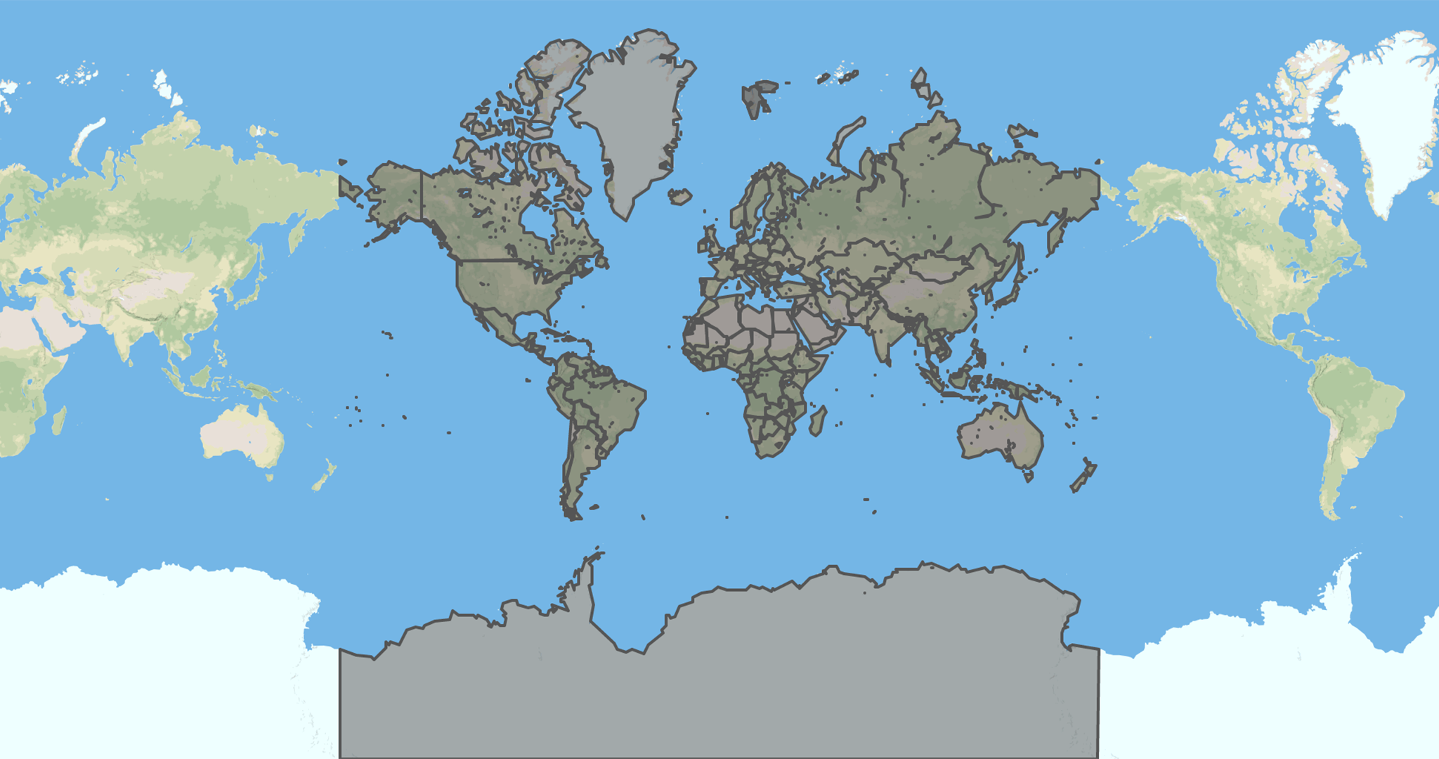
Map of countries' political land borders

Generation process

To export these maps we first wait countries-maritime and earth-lands maps to be generated.
Then we clip from countries-maritime the earth-lands using mapshaper's clip feature.
Finally we apply the Douglas-Peucker algorithm with different resolutions using mapshaper's simplify feature.

You can find the source code of the exportation process here.

Downloads

Below you can find the download to all the resolutions available for this kind of map.
Click on badges to interact with them.

Resolution Preview Size GH Downloads NPM Downloads
map resolution map preview file size github downloads npm downloads