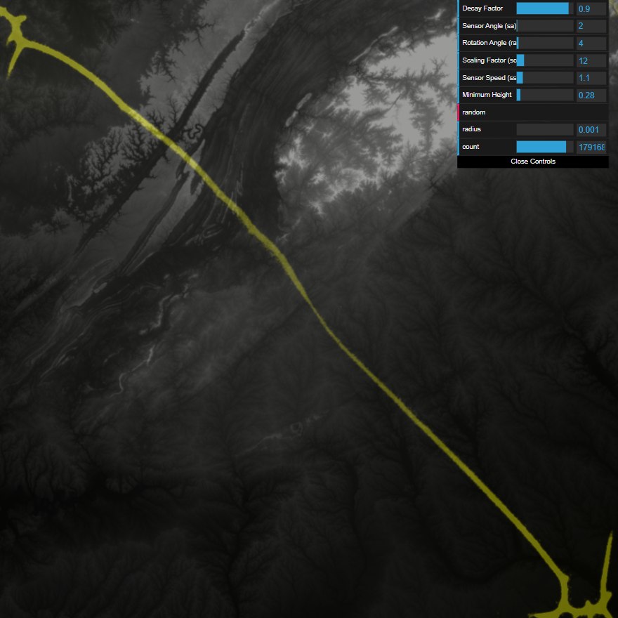
Interactive Demo of Modified Simulation
This particular fork is a modified version of a Physarum simulation by Nicolas Barradeau that can map over geographic terrain and use food sources for attraction. Analysis of the slime mold to demonstrate natural transport networks (pathfinding) can be found in the paper below.
Physarum for Effective Transport Networks (2022)
Example with pathfinding over Georgia (US State):
Original README:
inspired by this amazing work
implemented from this paper
you can try the demo click drag to draw, double click to create a disc with all the particles
the values:
- SA and RA control the changes in direction ( Sensor Angle and Rotation Angle)
- SO and SS are the look ahead distance and step size (speed) respectively.
- radius controls the size of the particle stream when drawing
- count controls the particle count when drawing
how to:
npm install
npm run dev
then build with
npm run deploy
sample images:


